Geographic Information Sy stem – ArcView University at Buffalo

26 Slides1.29 MB
Geographic Information Sy stem - ArcView University at Buffalo Summer Institute 2003 May 12, 2003
Course Overview You will learn - how to make a thematic map - how to query a map and table - how to join a table to a map - how to analyze spatial relationships - how to present the result - how to create geographic data
Introduction to GIS ArcView module 1 May 12, 9:00 AM
Outline What is GIS? What can GIS do? GIS applications What’s special about GIS? How it works (term definition)
What is GIS? Definition An information system that is designed to work with geographically referenced data
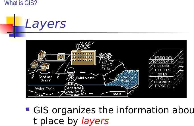
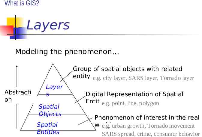
What is GIS? Layers GIS organizes the information abou t place by layers
What is GIS? Layers Modeling the phenomenon Group of spatial objects with related entity type e.g. city layer, SARS layer, Tornado layer Abstracti on Layer s Spatial Objects Spatial Entities Digital Representation of Spatial Entities e.g. point, line, polygon Phenomenon of interest in the real world e.g. urban growth, Tornado movement SARS spread, crime, consumer behavior
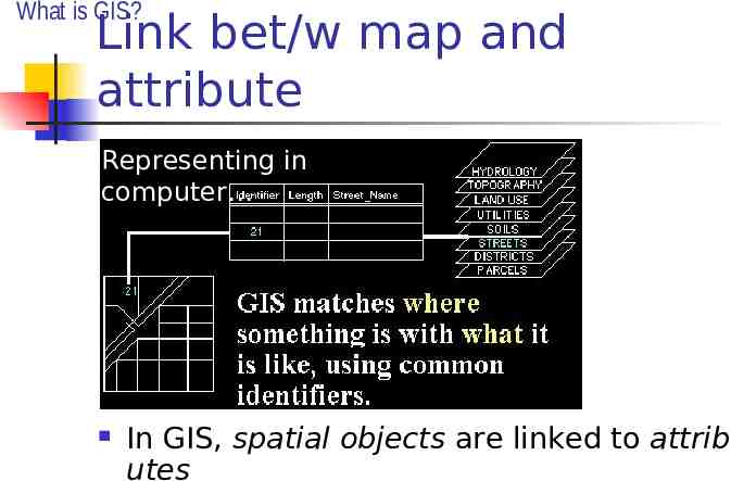
What is GIS? Link bet/w map and attribute Representing in computer In GIS, spatial objects are linked to attrib utes
What is GIS? Multidisciplinary Science Geography Mathematics Remote Sensing Cartography Surveying Statistics Computer Science Geodesy Operations Research
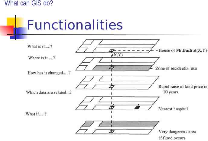
What can GIS do? Functionalities
What can GIS do? Spatial Component Estimates are that 80% of all data has a spatial component. Data from most sciences can be analyzed “spatially”.
What can GIS do? ArcView GIS ArcView GIS lets you create map d isplays and maps for presentation simply by pointing and clicking. ArcView GIS lets you visualize and analyze information in new ways, r evealing previously hidden relation ships, patterns, and trends.
GIS applications “The application of GIS is only limited by the imagination of those who use it.” Archaeology, agriculture, banking, defense an d intelligence, electric and gas, engineering- pi peline, engineering- surveying, federal govern ment, fire/EMS/disaster/homeland security, for estry, health and human services, insurance, e ducation, landscape architecture, law enforce ment and criminal justice, libraries and museu ms, location service, marine/cost/oceans, medi a, mining/earth science, natural resources, pet roleum, real estate, retail business, state and l ocal government, telecommunications, transpo rtation, universities, and water/wasterwater
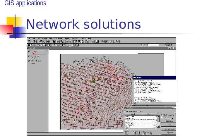
GIS applications Network solutions
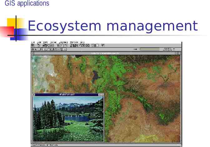
GIS applications Ecosystem management
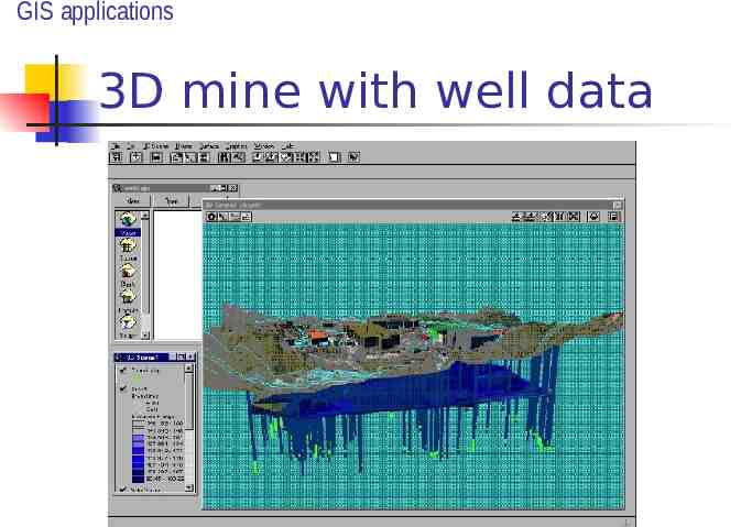
GIS applications 3D mine with well data
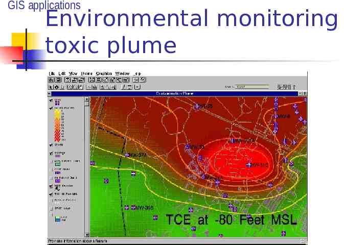
GIS applications Environmental monitoring toxic plume
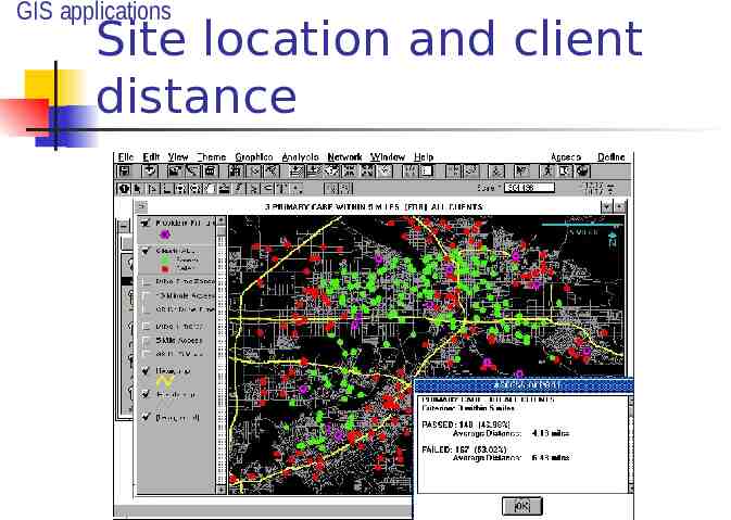
GIS applications Site location and client distance
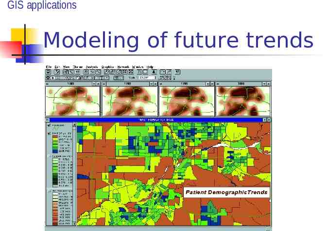
GIS applications Modeling of future trends
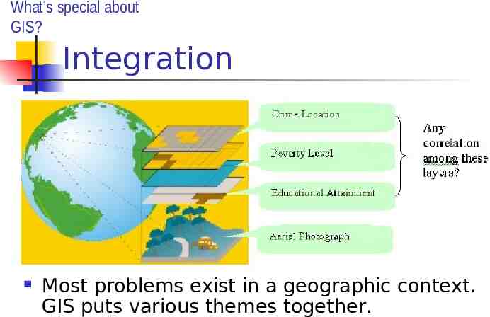
What’s special about GIS? Integration Most problems exist in a geographic context. GIS puts various themes together.
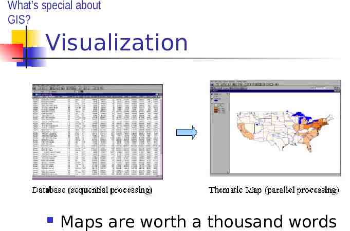
What’s special about GIS? Visualization Maps are worth a thousand words
How GIS works? Term definition for ArcView users Map features The objects represented on maps Each map feature has a location, a representative feature type, and a symbol that represents one or more of its characteristics.
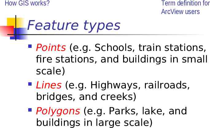
How GIS works? Term definition for ArcView users Feature types Points (e.g. Schools, train stations, fire stations, and buildings in small scale) Lines (e.g. Highways, railroads, bridges, and creeks) Polygons (e.g. Parks, lake, and buildings in large scale)
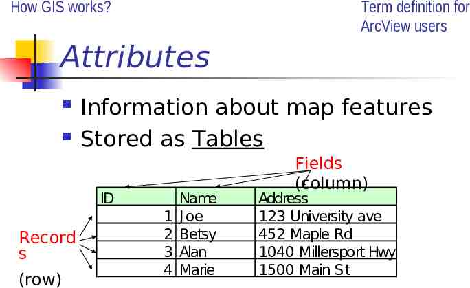
How GIS works? Term definition for ArcView users Attributes Information about map features Stored as Tables ID Record s (row) 1 2 3 4 Name J oe Betsy Alan Marie Fields (column) Address 123 University ave 452 Maple Rd 1040 Millersport Hwy 1500 Main St
How GIS works? Term definition for ArcView users Themes In ArcView, the layers are called t hemes A set of related map features that are linked to attributes (e.g. roads, parcels, wildlife habitat)
How GIS works? Term definition for ArcView users GIS Database All the themes for a geographic ar ea taken together often called spatial database