Introduction to GIS Web Services Workshop Offered by: The New York


61 Slides3.85 MB
Introduction to GIS Web Services Workshop Offered by: The New York State Office of Cyber Security and Critical Infrastructure Coordination From December 2007 - March 2008, the New York State Office of Cyber Security and Critical Infrastructure Coordination conducted this free training class in nine locations around the State. The following presentation was used in this training class. We hope that you find these materials a useful reference.
Introduction to GIS Web Services Sponsored by: The New York State Office of Cyber Security and Critical Infrastructure Coordination Presented by: Larry Spraker of Fountains Spatial, Inc. Schenectady, New York
Introduction to GIS Web Services Sponsored by: The New York State Office of Cyber Security and Critical Infrastructure Coordination Presented by: Larry Spraker of Fountains Spatial, Inc. Schenectady, New York
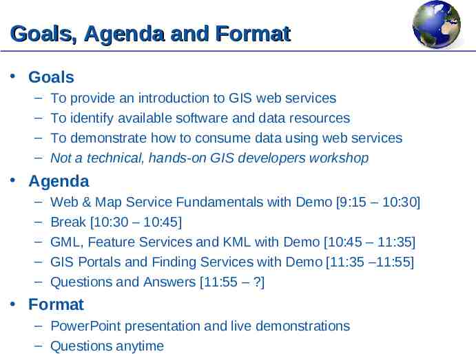
Goals, Agenda and Format Goals – – – – To provide an introduction to GIS web services To identify available software and data resources To demonstrate how to consume data using web services Not a technical, hands-on GIS developers workshop Agenda – – – – – Web & Map Service Fundamentals with Demo [9:15 – 10:30] Break [10:30 – 10:45] GML, Feature Services and KML with Demo [10:45 – 11:35] GIS Portals and Finding Services with Demo [11:35 –11:55] Questions and Answers [11:55 – ?] Format – PowerPoint presentation and live demonstrations – Questions anytime
Data and Information
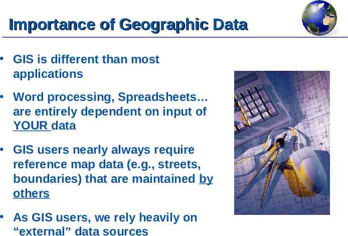
Importance of Geographic Data GIS is different than most applications Word processing, Spreadsheets are entirely dependent on input of YOUR data GIS users nearly always require reference map data (e.g., streets, boundaries) that are maintained by others As GIS users, we rely heavily on “external” data sources
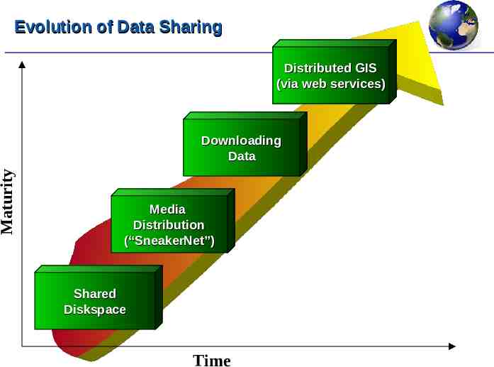
Evolution of Data Sharing Distributed GIS (via web services) Maturity Downloading Data Media Distribution (“SneakerNet”) Shared Diskspace Time
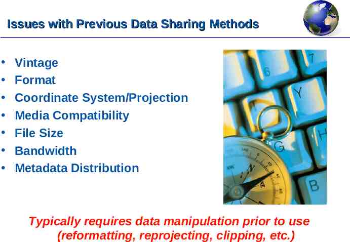
Issues with Previous Data Sharing Methods Vintage Format Coordinate System/Projection Media Compatibility File Size Bandwidth Metadata Distribution Typically requires data manipulation prior to use (reformatting, reprojecting, clipping, etc.)
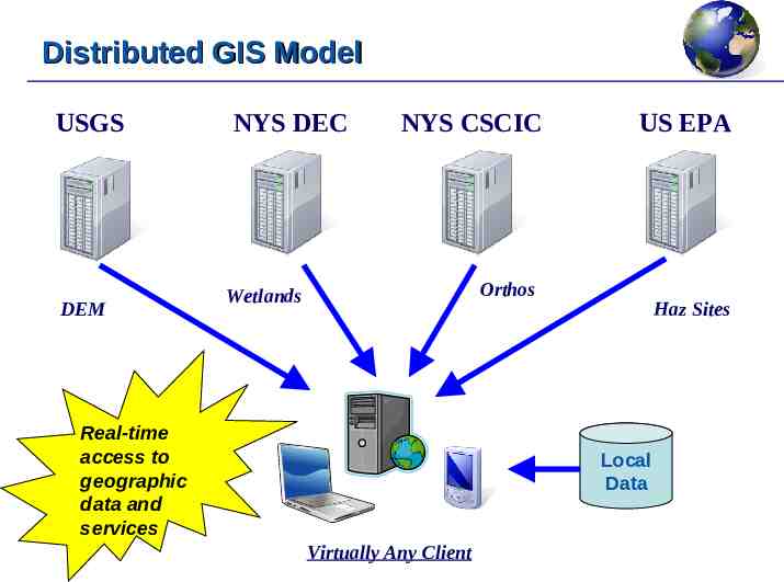
Distributed GIS Model USGS DEM NYS DEC NYS CSCIC US EPA Orthos Wetlands Real-time access to geographic data and services Haz Sites Local Data Virtually Any Client
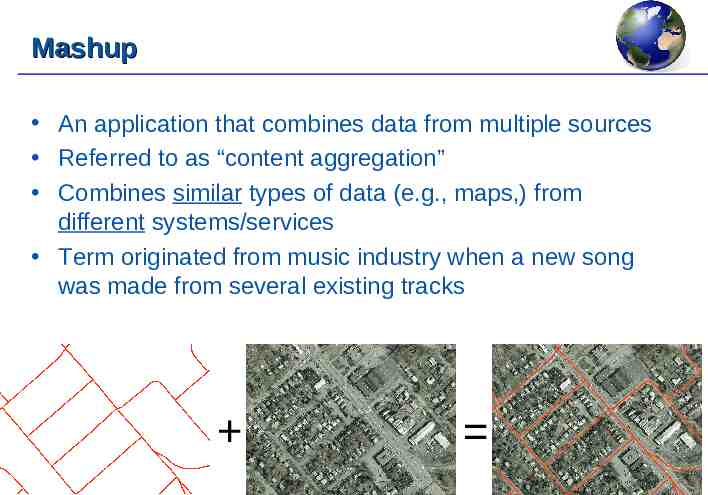
Mashup An application that combines data from multiple sources Referred to as “content aggregation” Combines similar types of data (e.g., maps,) from different systems/services Term originated from music industry when a new song was made from several existing tracks
Distributed GIS Advantages Guarantees latest data vintage Format is irrelevant No media involved Size is irrelevant (only requested data needed) Software independent (AV, MI) Device independent (PC, phone) Saves Time!
Distributed GIS Disadvantages Dependent on server availability Dependent on internet availability Users need to be aware of web service Can be difficult to find
Service Oriented Architecture Architecture that is based on integrating “loosely coupled”, interoperable services Loosely coupled means NOT physically bound or compiled like an EXE or DLL These services can be invoked and consumed remotely over a network Data and messages are exchanged between clients and services
What is a Web Service? A web service is an application service that provides one or more functions that can be remotely requested Each function within the service performs a specific task (e.g., generate a map) Clients remotely invoke a function on a web server Input parameters and data output are passed back and forth in XML format XML is exchanged using the Simple Object Access Protocol (SOAP) Independent of programming language and operating system
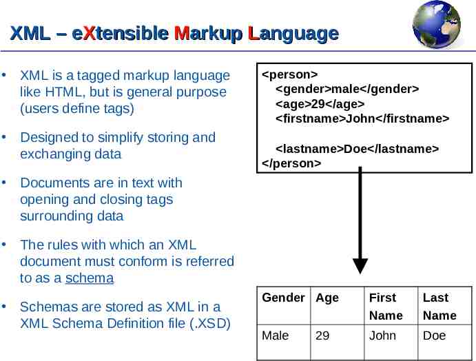
XML – eXtensible Markup Language XML is a tagged markup language like HTML, but is general purpose (users define tags) Designed to simplify storing and exchanging data person gender male /gender age 29 /age firstname John /firstname lastname Doe /lastname /person Documents are in text with opening and closing tags surrounding data The rules with which an XML document must conform is referred to as a schema Schemas are stored as XML in a XML Schema Definition file (.XSD) Gender Age First Name Last Name Male John Doe 29
Simple Object Access Protocol (SOAP) XML based protocol that allows applications to call web service functions, pass input parameters and receive results This is the protocol that is used with web services
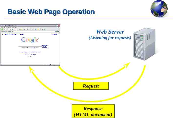
Basic Web Page Operation Web Server (Listening for requests) Request Response (HTML document)
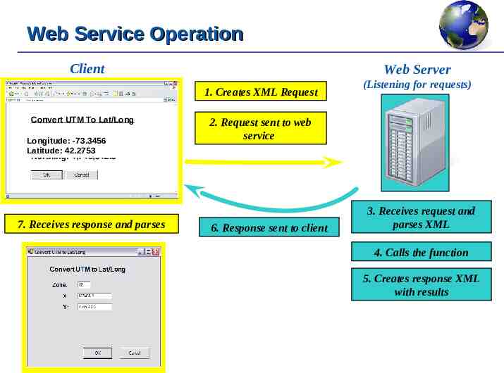
Web Service Operation Client Web Server 1. Creates XML Request Convert UTM To Lat/Long Zone: 18 -73.3456 Longitude: Processing . Easting: 623,456.3 Latitude: 42.2753 Northing: 4,745,342.3 7. Receives response and parses (Listening for requests) 2. Request sent to web service 6. Response sent to client 3. Receives request and parses XML 4. Calls the function 5. Creates response XML with results
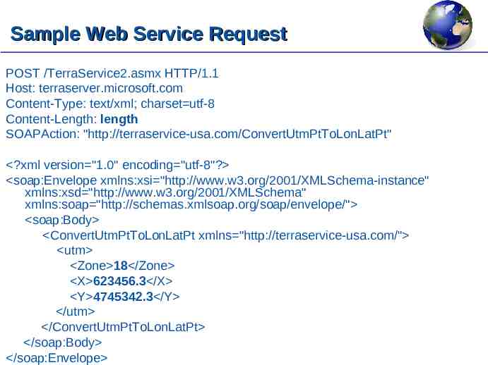
Sample Web Service Request POST /TerraService2.asmx HTTP/1.1 Host: terraserver.microsoft.com Content-Type: text/xml; charset utf-8 Content-Length: length SOAPAction: "http://terraservice-usa.com/ConvertUtmPtToLonLatPt" ?xml version "1.0" encoding "utf-8"? soap:Envelope xmlns:xsi "http://www.w3.org/2001/XMLSchema-instance" xmlns:xsd "http://www.w3.org/2001/XMLSchema" xmlns:soap "http://schemas.xmlsoap.org/soap/envelope/" soap:Body ConvertUtmPtToLonLatPt xmlns "http://terraservice-usa.com/" utm Zone 18 /Zone X 623456.3 /X Y 4745342.3 /Y /utm /ConvertUtmPtToLonLatPt /soap:Body /soap:Envelope
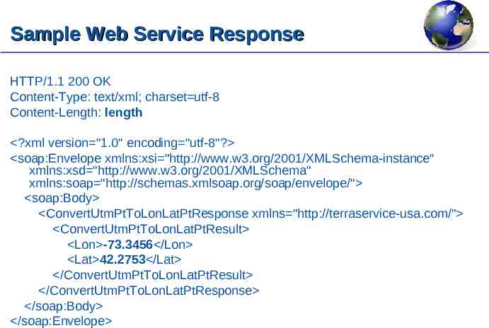
Sample Web Service Response HTTP/1.1 200 OK Content-Type: text/xml; charset utf-8 Content-Length: length ?xml version "1.0" encoding "utf-8"? soap:Envelope xmlns:xsi "http://www.w3.org/2001/XMLSchema-instance" xmlns:xsd "http://www.w3.org/2001/XMLSchema" xmlns:soap "http://schemas.xmlsoap.org/soap/envelope/" soap:Body ConvertUtmPtToLonLatPtResponse xmlns "http://terraservice-usa.com/" ConvertUtmPtToLonLatPtResult Lon -73.3456 /Lon Lat 42.2753 /Lat /ConvertUtmPtToLonLatPtResult /ConvertUtmPtToLonLatPtResponse /soap:Body /soap:Envelope
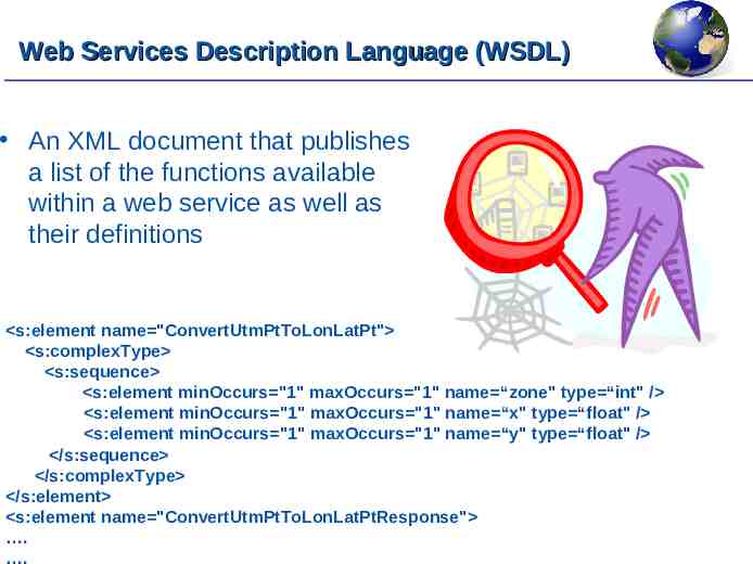
Web Services Description Language (WSDL) An XML document that publishes a list of the functions available within a web service as well as their definitions s:element name "ConvertUtmPtToLonLatPt" s:complexType s:sequence s:element minOccurs "1" maxOccurs "1" name “zone" type “int" / s:element minOccurs "1" maxOccurs "1" name “x" type “float" / s:element minOccurs "1" maxOccurs "1" name “y" type “float" / /s:sequence /s:complexType /s:element s:element name "ConvertUtmPtToLonLatPtResponse" . .
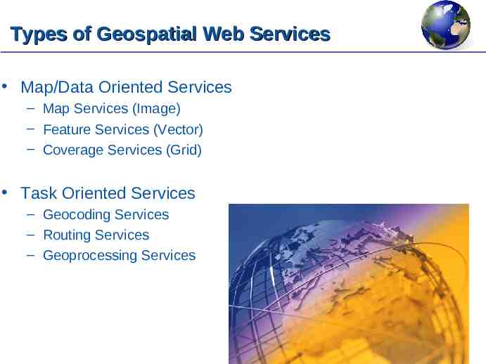
Types of Geospatial Web Services Map/Data Oriented Services – Map Services (Image) – Feature Services (Vector) – Coverage Services (Grid) Task Oriented Services – Geocoding Services – Routing Services – Geoprocessing Services
Map Services Client requests a map from a server for a specified geographic extent Map Server renders the requested map internally and converts to an image file (e.g., JPG, PNG, GIF) and returns the map image to the client for display Fast map display is possible 99% of current activity is Map/Image Serving
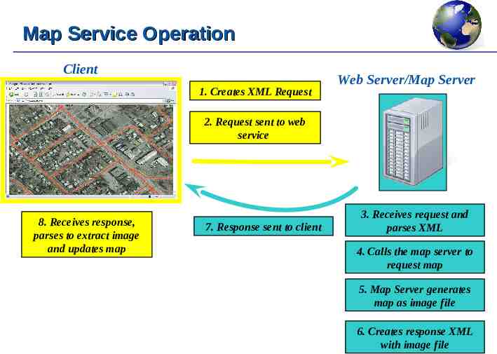
Map Service Operation Client 1. Creates XML Request Web Server/Map Server 2. Request sent to web service 8. Receives response, parses to extract image and updates map 7. Response sent to client 3. Receives request and parses XML 4. Calls the map server to request map 5. Map Server generates map as image file 6. Creates response XML with image file
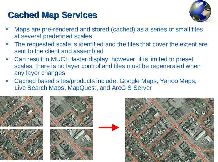
Cached Map Services Maps are pre-rendered and stored (cached) as a series of small tiles at several predefined scales The requested scale is identified and the tiles that cover the extent are sent to the client and assembled Can result in MUCH faster display, however, it is limited to preset scales, there is no layer control and tiles must be regenerated when any layer changes Cached based sites/products include: Google Maps, Yahoo Maps, Live Search Maps, MapQuest, and ArcGIS Server
Proprietary Map Service Products Most commercial GIS server products and search sites deliver maps and geospatial functionality using a proprietary architecture/API These products include the following: – – – – – – – – – – – ArcIMS (ESRI) ArcGIS Server (ESRI) ArcWeb Services (ESRI) MapXtreme (MapInfo) MapGuide (Autodesk) Geomedia WebMap (Intergraph) MapPoint Google Maps (Google) Live Search Maps (Microsoft) Mapquest Yahoo Maps However, most of the above products can publish open services (e.g, WMS) that meet open standards Additionally there are many open source GIS products (e.g., MapServer) which are collaborative efforts and do not use proprietary architectures these are typically based on open standards
Disadvantage of Proprietary Services In most cases, only applications from the same vendor can be used to consume these services – For example, MapInfo cannot consume a proprietary ArcIMS service, while ArcView cannot consume a proprietary MapXtreme service The proprietary API limits the number of developers that have experience in providing these solutions Limits the sharing of geospatial data and functionality between users/organizations
OGC and Open Web Mapping The Open Geospatial Consortium (OGC) was founded in 1994 An international consortium of 346 organizations that lead the development of open standards and specifications to enable the interoperability of geospatial and location based services They have developed a series of open standards for geospatial web services such as: – – – – Geography Markup Language (GML) Web Mapping Services (WMS) Web Feature Services (WFS) Web Coverage Services (WCS) Referrred to as “OpenGIS ” standards
Web Mapping Services (WMS) WMS is the OGC specification for implementing a map (image) service Does not allow for cached map services WMS provides 3 functions for clients to access functionality Two functions are mandatory to be implemented, the third function is optional This results in two general “types” of WMS Services – Basic – Queryable
Web Mapping Services (WMS) Basic WMS Service Every WMS service MUST support the following two functions: – GetCapabilities – Describes the capabilities and available layers – GetMap – Generates a map image based on input parameters Queryable WMS Service The following function is optional for WMS services: – GetFeatureInfo – Gets the attributes for a specified feature http://www.opengeospatial.org/standards/wms
What can be done with a WMS service? Each client application (e.g., ArcView, MapInfo, Google Earth, etc.) handles WMS services differently However, generally the following functions are available: – – – – Map Display and navigation Zoom to layer Layer Control Identify feature (only with Queryable Map services) Anything else is not available – – – – No feature selection No geoprocessing No attribute table/browser display Menus/Buttons are greyed out and disabled
DEMO Consuming WMS Services with ArcView and MapInfo
Geography Markup Language (GML) and Web Feature Services (WFS)
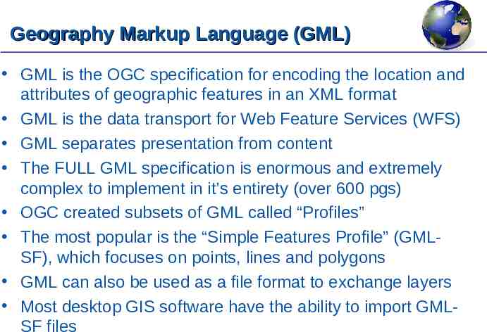
Geography Markup Language (GML) GML is the OGC specification for encoding the location and attributes of geographic features in an XML format GML is the data transport for Web Feature Services (WFS) GML separates presentation from content The FULL GML specification is enormous and extremely complex to implement in it’s entirety (over 600 pgs) OGC created subsets of GML called “Profiles” The most popular is the “Simple Features Profile” (GMLSF), which focuses on points, lines and polygons GML can also be used as a file format to exchange layers Most desktop GIS software have the ability to import GMLSF files
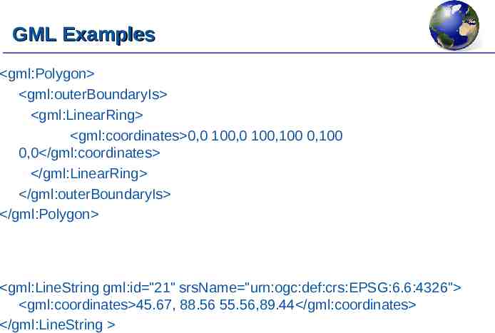
GML Examples gml:Polygon gml:outerBoundaryIs gml:LinearRing gml:coordinates 0,0 100,0 100,100 0,100 0,0 /gml:coordinates /gml:LinearRing /gml:outerBoundaryIs /gml:Polygon gml:LineString gml:id "21" srsName "urn:ogc:def:crs:EPSG:6.6:4326" gml:coordinates 45.67, 88.56 55.56,89.44 /gml:coordinates /gml:LineString
Feature Services Client requests features from one or more layers within a specified geographic extent Geometry and attributes of features are sent to client Requires a “thicker” client to receive the features and render/process locally Significantly less performance than map/image services when streaming data However, once received by the client application, many typical GIS operations are available (unlike a map service) Several vendor products offer feature services (e.g., ArcIMS)
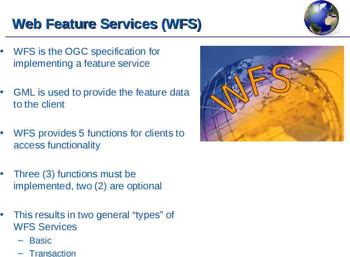
Web Feature Services (WFS) WFS is the OGC specification for implementing a feature service GML is used to provide the feature data to the client WFS provides 5 functions for clients to access functionality Three (3) functions must be implemented, two (2) are optional This results in two general “types” of WFS Services – Basic – Transaction
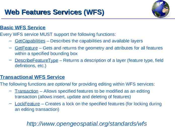
Web Features Services (WFS) Basic WFS Service Every WFS service MUST support the following functions: – GetCapabilities – Describes the capabilities and available layers – GetFeature – Gets and returns the geometry and attributes for all features within a specified bounding box – DescribeFeatureType – Returns a description of a layer (feature type, field definitions, etc.) Transactional WFS Service The following functions are optional for providing editing within WFS services: – Transaction – Allows specified features to be modified as an editing transaction (allows insert, update and deleting of features) – LockFeature – Creates a lock on the specified features (for locking during an editing transaction) http://www.opengeospatial.org/standards/wfs
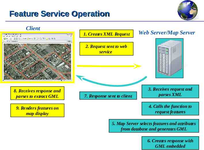
Feature Service Operation Client 1. Creates XML Request Web Server/Map Server 2. Request sent to web service 8. Receives response and parses to extract GML 9. Renders features on map display 7. Response sent to client 3. Receives request and parses XML 4. Calls the function to request features 5. Map Server selects features and attributes from database and generates GML 6. Creates response with GML embedded
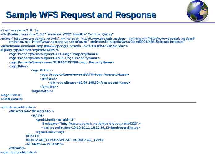
Sample WFS Request and Response ?xml version "1.0" ? GetFeature version "1.0.0" service "WFS" handle "Example Query" xmlns "http://www.opengis.net/wfs" xmlns:ogc "http://www.opengis.net/ogc" xmlns:gml "http://www.opengis.net/gml“ xmlns:myns "http://www.someserver.com/myns" xmlns:xsi "http://www.w3.org/2001/XMLSchema-instance" xsi:schemaLocation "http://www.opengis.net/wfs ./wfs/1.0.0/WFS-basic.xsd" Query typeName "myns:ROADS" ogc:PropertyName myns:PATH /ogc:PropertyName ogc:PropertyName myns:LANES /ogc:PropertyName ogc:PropertyName myns:SURFACETYPE /ogc:PropertyName ogc:Filter ogc:Within ogc:PropertyName myns:PATH /ogc:PropertyName gml:Box gml:coordinates 50,40 100,60 /gml:coordinates /gml:Box /ogc:Within /ogc:Filter /GetFeature gml:featureMember ROADS fid "ROADS.100" PATH gml:LineString gid "1" SrsName "http://www.opengis.net/gml/srs/epsg.xml#4326" gml:coordinates 10,10 10,11 10,12 10,13 /gml:coordinates /gml:LineString /PATH SURFACE TYPE ASPHALT /SURFACE TYPE NLANES 4 /NLANES /ROADS /gml:featureMember
DEMO Consuming WFS Services with ArcView and MapInfo
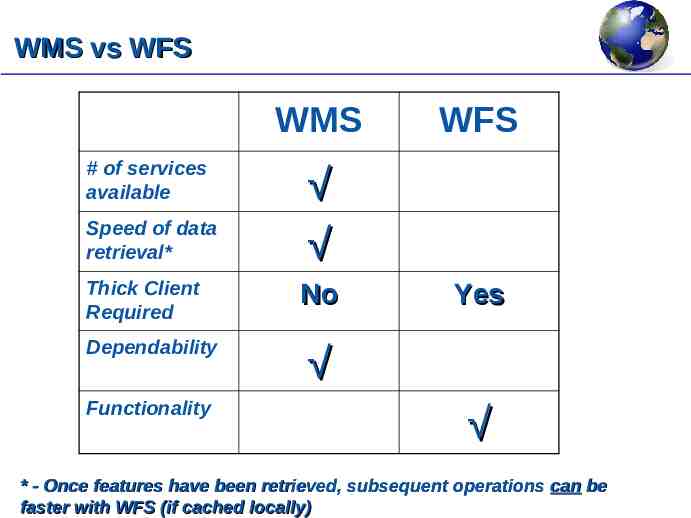
WMS vs WFS WMS # of services available Speed of data retrieval* Thick Client Required Dependability Functionality WFS No Yes * - Once features have been retrieved, subsequent operations can be faster with WFS (if cached locally)
KML and Google Earth
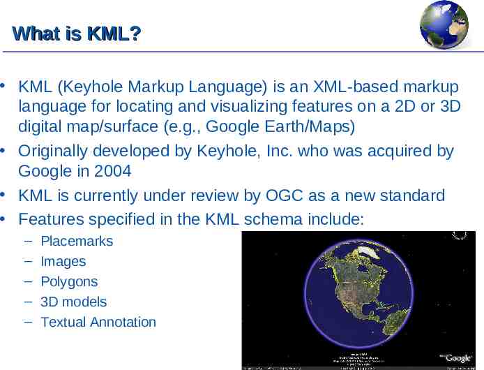
What is KML? KML (Keyhole Markup Language) is an XML-based markup language for locating and visualizing features on a 2D or 3D digital map/surface (e.g., Google Earth/Maps) Originally developed by Keyhole, Inc. who was acquired by Google in 2004 KML is currently under review by OGC as a new standard Features specified in the KML schema include: – – – – – Placemarks Images Polygons 3D models Textual Annotation
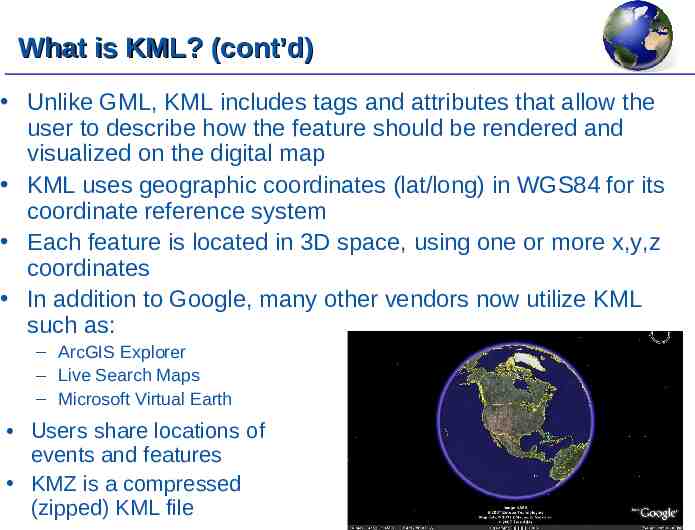
What is KML? (cont’d) Unlike GML, KML includes tags and attributes that allow the user to describe how the feature should be rendered and visualized on the digital map KML uses geographic coordinates (lat/long) in WGS84 for its coordinate reference system Each feature is located in 3D space, using one or more x,y,z coordinates In addition to Google, many other vendors now utilize KML such as: – ArcGIS Explorer – Live Search Maps – Microsoft Virtual Earth Users share locations of events and features KMZ is a compressed (zipped) KML file
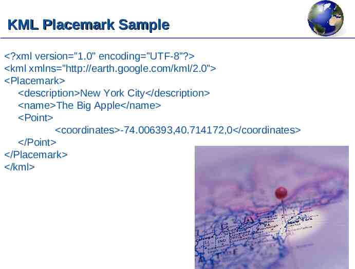
KML Placemark Sample ?xml version "1.0" encoding "UTF-8"? kml xmlns "http://earth.google.com/kml/2.0" Placemark description New York City /description name The Big Apple /name Point coordinates -74.006393,40.714172,0 /coordinates /Point /Placemark /kml
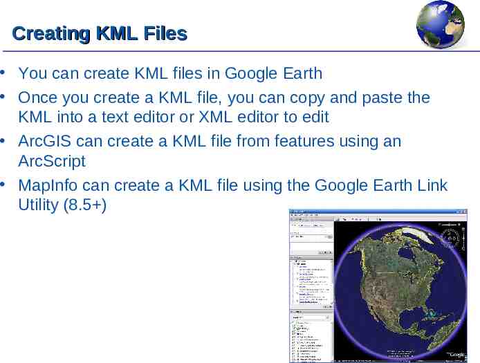
Creating KML Files You can create KML files in Google Earth Once you create a KML file, you can copy and paste the KML into a text editor or XML editor to edit ArcGIS can create a KML file from features using an ArcScript MapInfo can create a KML file using the Google Earth Link Utility (8.5 )
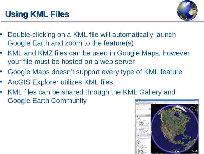
Using KML Files Double-clicking on a KML file will automatically launch Google Earth and zoom to the feature(s) KML and KMZ files can be used in Google Maps, however your file must be hosted on a web server Google Maps doesn’t support every type of KML feature ArcGIS Explorer utilizes KML files KML files can be shared through the KML Gallery and Google Earth Community
DEMO Creating and Using KML files in Google Earth
Geospatial Portals and Finding Data Services
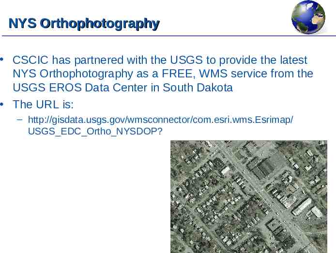
NYS Orthophotography CSCIC has partnered with the USGS to provide the latest NYS Orthophotography as a FREE, WMS service from the USGS EROS Data Center in South Dakota The URL is: – http://gisdata.usgs.gov/wmsconnector/com.esri.wms.Esrimap/ USGS EDC Ortho NYSDOP?
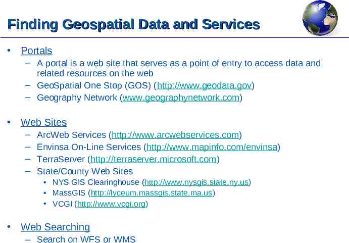
Finding Geospatial Data and Services Portals – A portal is a web site that serves as a point of entry to access data and related resources on the web – GeoSpatial One Stop (GOS) (http://www.geodata.gov) – Geography Network (www.geographynetwork.com) Web Sites – – – – ArcWeb Services (http://www.arcwebservices.com) Envinsa On-Line Services (http://www.mapinfo.com/envinsa) TerraServer (http://terraserver.microsoft.com) State/County Web Sites NYS GIS Clearinghouse (http://www.nysgis.state.ny.us) MassGIS (http://lyceum.massgis.state.ma.us) VCGI (http://www.vcgi.org) Web Searching – Search on WFS or WMS
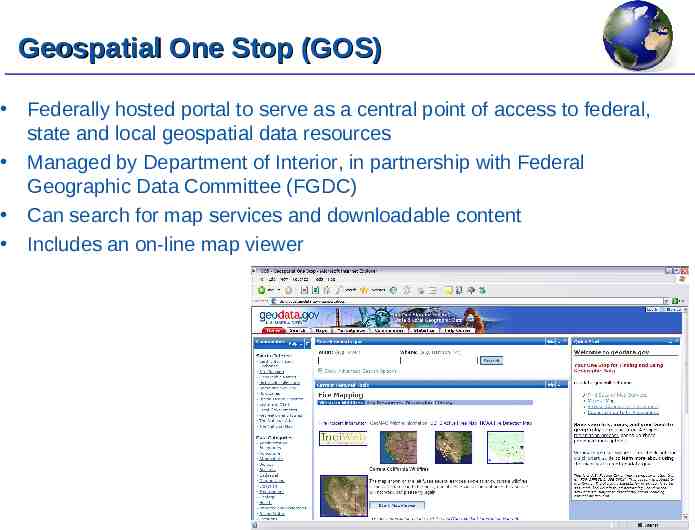
Geospatial One Stop (GOS) Federally hosted portal to serve as a central point of access to federal, state and local geospatial data resources Managed by Department of Interior, in partnership with Federal Geographic Data Committee (FGDC) Can search for map services and downloadable content Includes an on-line map viewer
DEMO Finding GIS Services With Geospatial One Stop
Other Geospatial Services and Final Thoughts
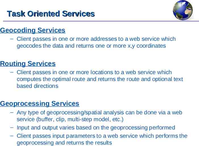
Task Oriented Services Geocoding Services – Client passes in one or more addresses to a web service which geocodes the data and returns one or more x,y coordinates Routing Services – Client passes in one or more locations to a web service which computes the optimal route and returns the route and optional text based directions Geoprocessing Services – Any type of geoprocessing/spatial analysis can be done via a web service (buffer, clip, multi-step model, etc.) – Input and output varies based on the geoprocessing performed – Client passes input parameters to a web service which performs the geoprocessing and returns the results
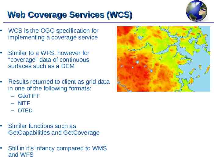
Web Coverage Services (WCS) WCS is the OGC specification for implementing a coverage service Similar to a WFS, however for “coverage” data of continuous surfaces such as a DEM Results returned to client as grid data in one of the following formats: – GeoTIFF – NITF – DTED Similar functions such as GetCapabilities and GetCoverage Still in it’s infancy compared to WMS and WFS
Benefits of Serving Data with OpenGIS Control the data that you are providing Ensure users are consuming the correct version/vintage Share your data with the widest possible audience Reduce the amount of time handling “requests” Much more simple to publish regular changes
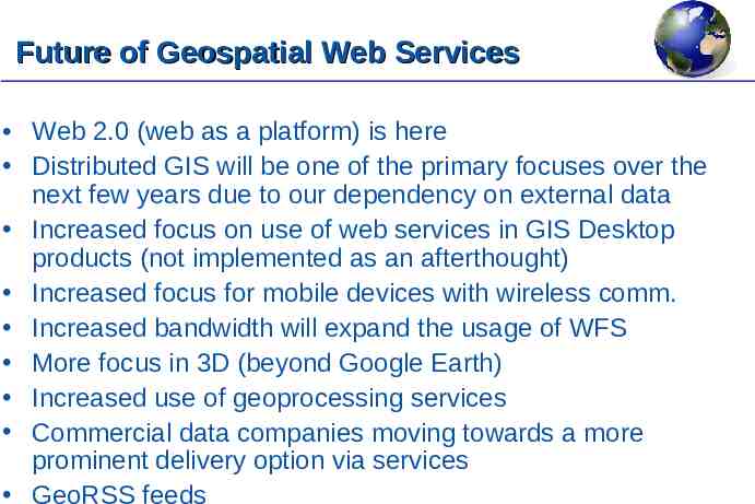
Future of Geospatial Web Services Web 2.0 (web as a platform) is here Distributed GIS will be one of the primary focuses over the next few years due to our dependency on external data Increased focus on use of web services in GIS Desktop products (not implemented as an afterthought) Increased focus for mobile devices with wireless comm. Increased bandwidth will expand the usage of WFS More focus in 3D (beyond Google Earth) Increased use of geoprocessing services Commercial data companies moving towards a more prominent delivery option via services GeoRSS feeds
Questions?
A video of this workshop was made for the express use of the New York State Office of Cyber Security & Critical Infrastructure Coordination (CSCIC) and is protected by copyright. This video may only be reproduced and distributed by or with the permission of the State of New York. CSCIC 2008 NYS Office of Cyber Security & Critical Infrastructure Coordination Email: [email protected]