Five Major U.S. Rivers And Two Mountain Chains By: Melissa White and
10 Slides150.48 KB
Five Major U.S. Rivers And Two Mountain Chains By: Melissa White and Lyndsey Robbins
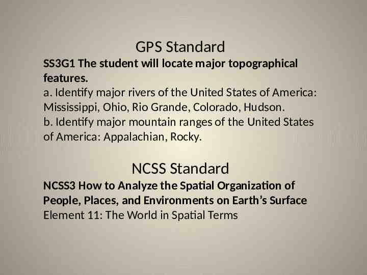
GPS Standard SS3G1 The student will locate major topographical features. a. Identify major rivers of the United States of America: Mississippi, Ohio, Rio Grande, Colorado, Hudson. b. Identify major mountain ranges of the United States of America: Appalachian, Rocky. NCSS Standard NCSS3 How to Analyze the Spatial Organization of People, Places, and Environments on Earth’s Surface Element 11: The World in Spatial Terms
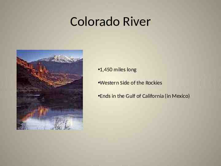
Colorado River 1,450 miles long Western Side of the Rockies Ends in the Gulf of California (in Mexico)
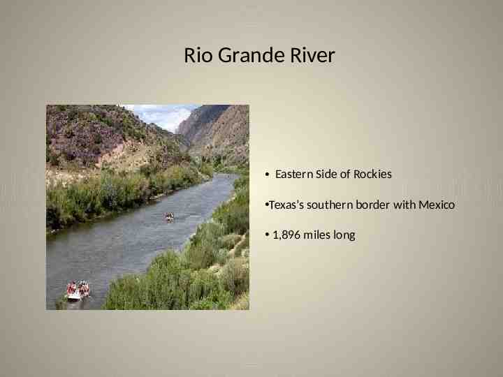
Rio Grande River Eastern Side of Rockies Texas’s southern border with Mexico 1,896 miles long
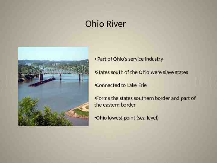
Ohio River Part of Ohio’s service industry States south of the Ohio were slave states Connected to Lake Erie Forms the states southern border and part of the eastern border Ohio lowest point (sea level)
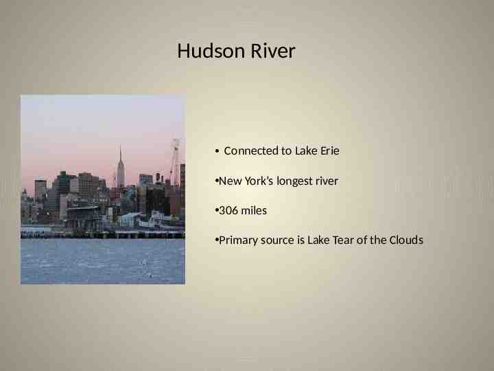
Hudson River Connected to Lake Erie New York’s longest river 306 miles Primary source is Lake Tear of the Clouds
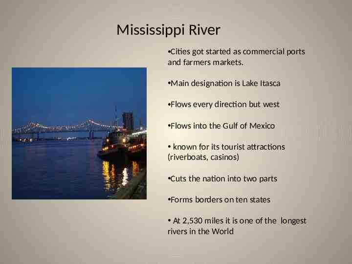
Mississippi River Cities got started as commercial ports and farmers markets. Main designation is Lake Itasca Flows every direction but west Flows into the Gulf of Mexico known for its tourist attractions (riverboats, casinos) Cuts the nation into two parts Forms borders on ten states At 2,530 miles it is one of the longest rivers in the World
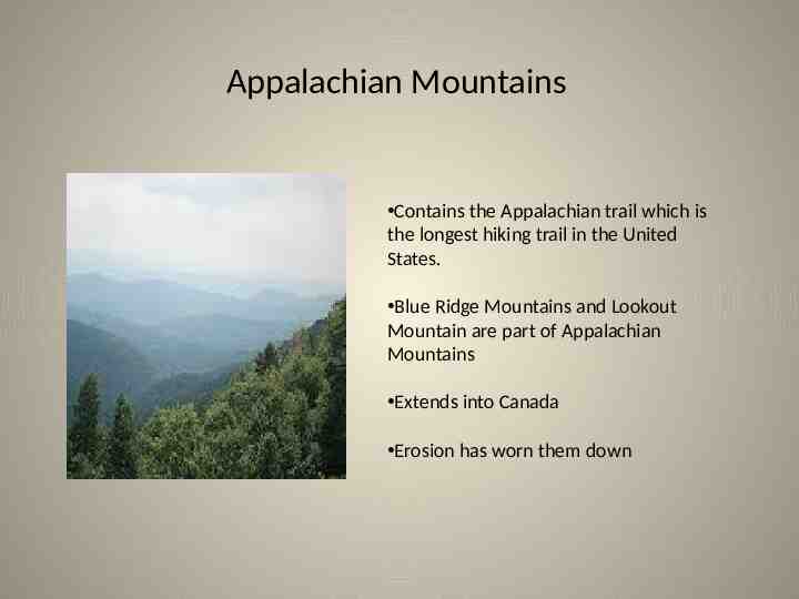
Appalachian Mountains Contains the Appalachian trail which is the longest hiking trail in the United States. Blue Ridge Mountains and Lookout Mountain are part of Appalachian Mountains Extends into Canada Erosion has worn them down
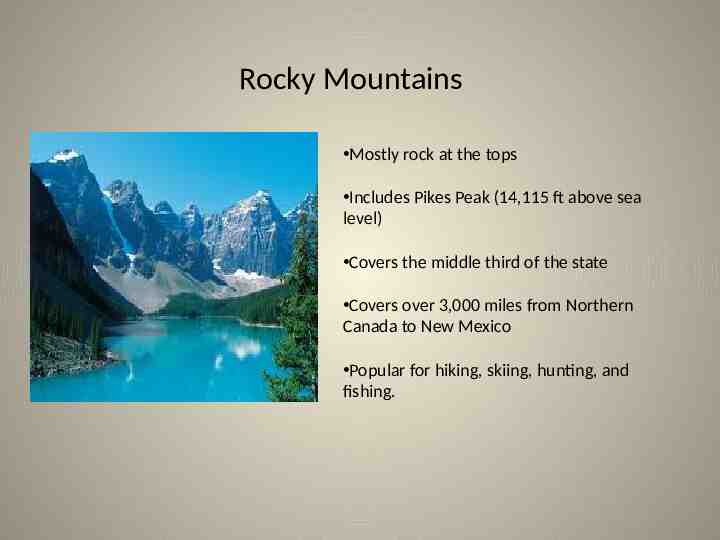
Rocky Mountains Mostly rock at the tops Includes Pikes Peak (14,115 ft above sea level) Covers the middle third of the state Covers over 3,000 miles from Northern Canada to New Mexico Popular for hiking, skiing, hunting, and fishing.